

Baruntse Peak: A Climbers’ Guide - Namas Adventure

South East Ridge route, Baruntse Expedition
Mountain Overview
Elevation: 7129M / 23389FT
Co-ordinates: 27°52′18″N 86°58′48″E
Location: Makalu / Barun Valley
Parent Mountain: None
Summits: 3 Fore Summit / 1 Main Summit
Country: Nepal
About the Mountain
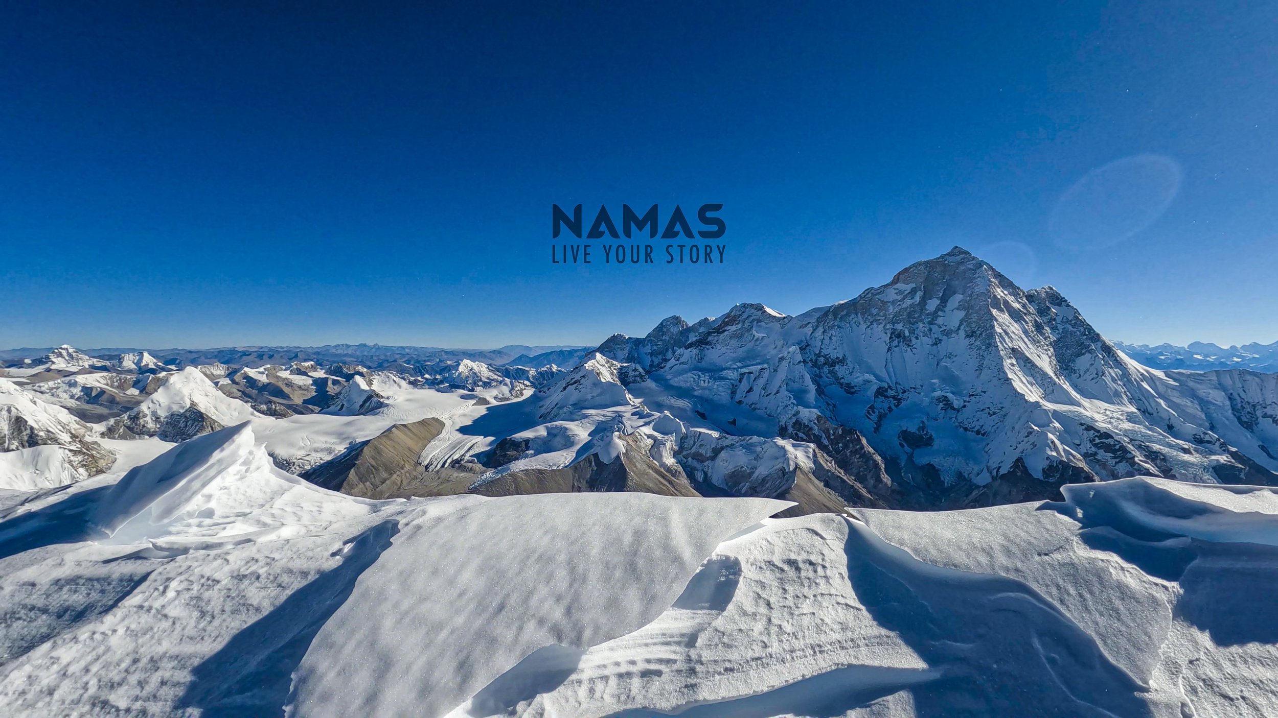
Baruntse peak 7129M is located in the Himalayan region of Nepal, just between Lhotse 8516M and Makalu 8463M. Crowned by four peaks and bounded on the south by the Hunku Glacier, on the east by the Barun Glacier flowing north-south from Cho to the north-west by the Imja glacier, and the Hunku glacier forms the south-east boundary. Baruntse mountain stretch has four ridges and four summits. The three main ridges are situated between the glaciers, the fourth main summit lies to the west near Cho Polu peak.
History
Baruntse was first climbed on 30 May 1954, via the south ridge by Colin Todd and Geoff Harrow of a New Zealand expedition led by Sir Edmund Hillary.
How to get here?
There are three main routes to get to Baruntse Base Camp.
Via Mera Peak acclimatisation / route
Via Imja lake route, climbing Amphu Lhabtsa pass 5800
Via Sherpini col 5600M from Makalu route
Baruntse Routes
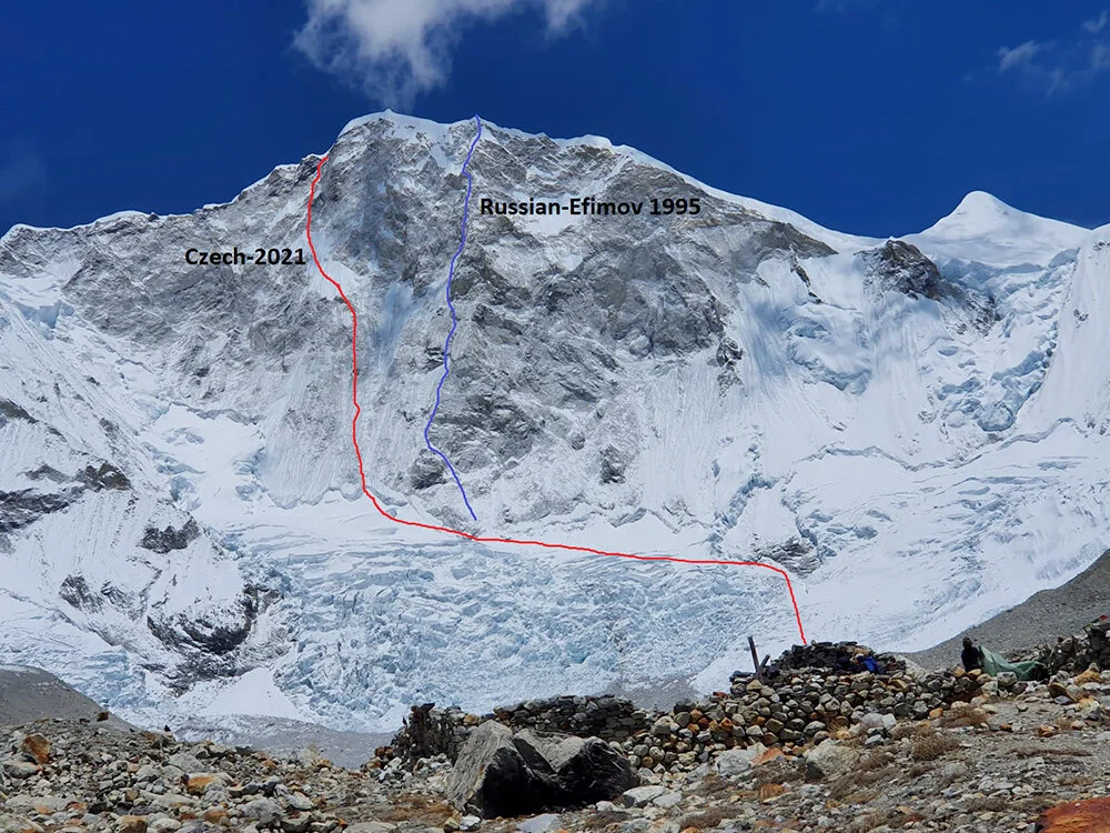
RED Route (Heavenly trap - 2021) and Blue Route (Russian Efimov 1995)
Southeast Ridge (Normal/safest Expedition route)
West Face (Heavenly trap) route, May 2021 - Two-time Piolet d'Or recipient Marek "Mara" Holecek and fellow Czech climber Radoslav "Radar" Groh completed a new route ascent to Baruntse 7129M in alpine style via the west face route which they named as “Heavenly trap” (ABO+: VI+ M6+ 80°, 1300m).
Russian Efimov Route 1995
East Ridge - 1980 by Lorenzo Ortas, Javier Escartín, Jeronimo Lopez (all Spain) and Carlos Buhler (America) of a Spanish expedition led by Juan José Díaz Ibañez.
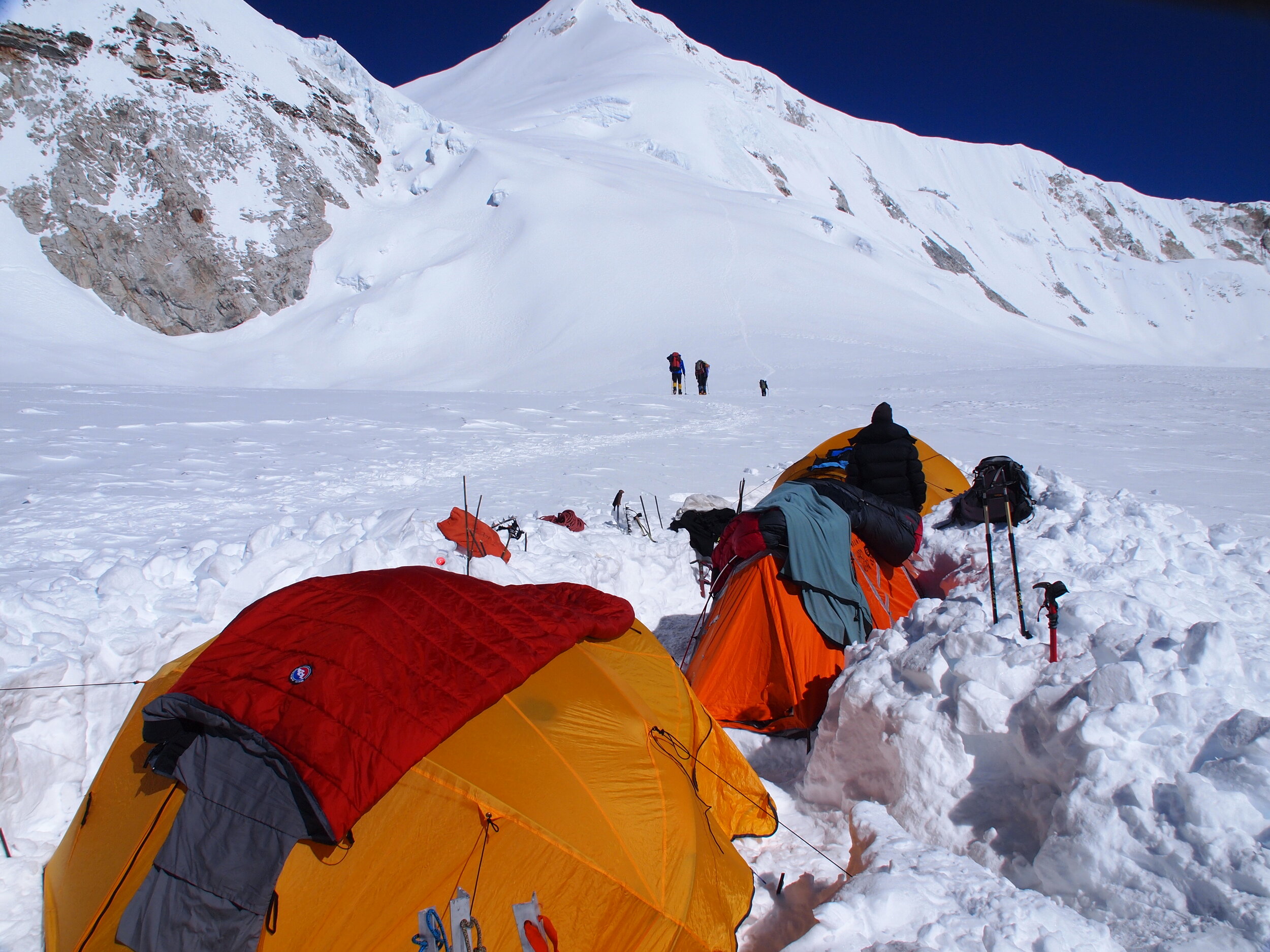
Barutnse Base Camp 5640M

Baruntse Base Camp 5460M
Baruntse base camp is at 5640M, a few kilometers further up the glacier at the entrance to the valley which gives access to East Col. From a camp set up immediately below the pass, it is easy to cross East Col to West col and reaching Camp 1 (6,146 M) at a large snowy plateau, on the Lower Barun Glacier.
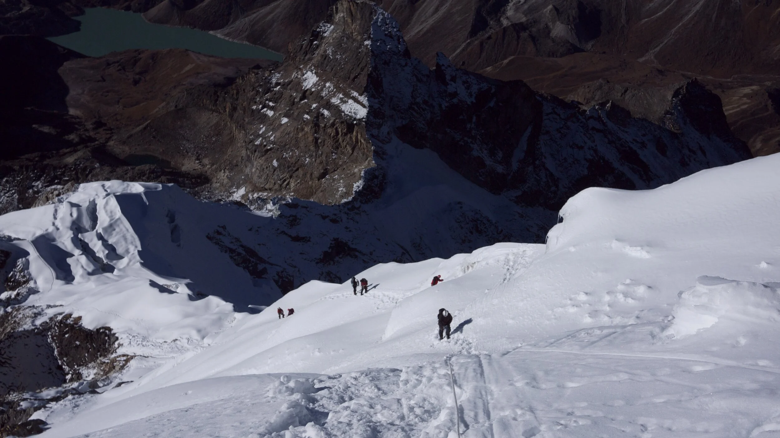
West Col 5800M
210M high, 45-degree climb on a vertical snow, rock, and ice wall to reach the ridge section. This is the first technical and objective challenge to overcome at the 5800M level.
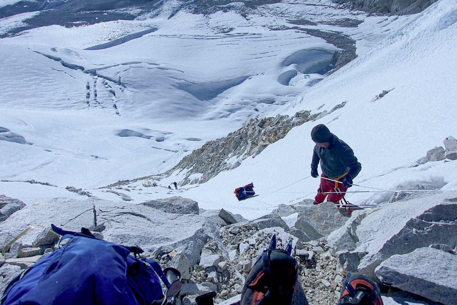
Camp 1, 6100M
After climbing up the West col, traversing through the ridge, and hiking further down climbers will come across an open area to set up their camp 1. Normally, Baruntse camp 1 sits at 6100M level after climbing the vertical wall and traversing towards the wide-open flowing Barun glacier.
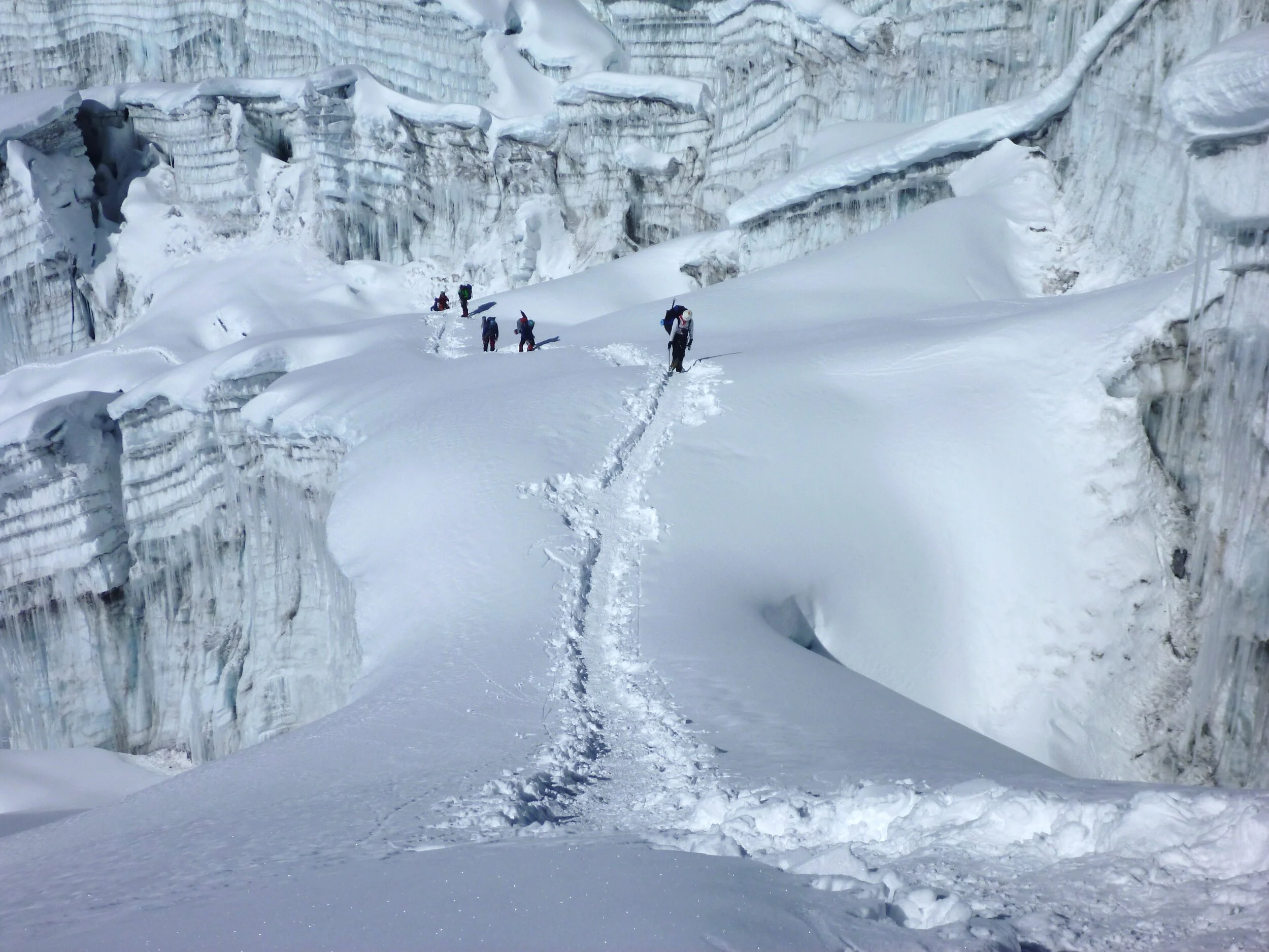
Camp 2, 6400M
Camp 2 is not far from camp 2 rather a gradual steep hill to climb and gain some altitude on the fore mountains of Baruntse. Climbing mostly on ice/snow section camp 2 is established at 6400M elevation just below the steep section which is the path for summit push.

Camp 2, Baruntse 6400M
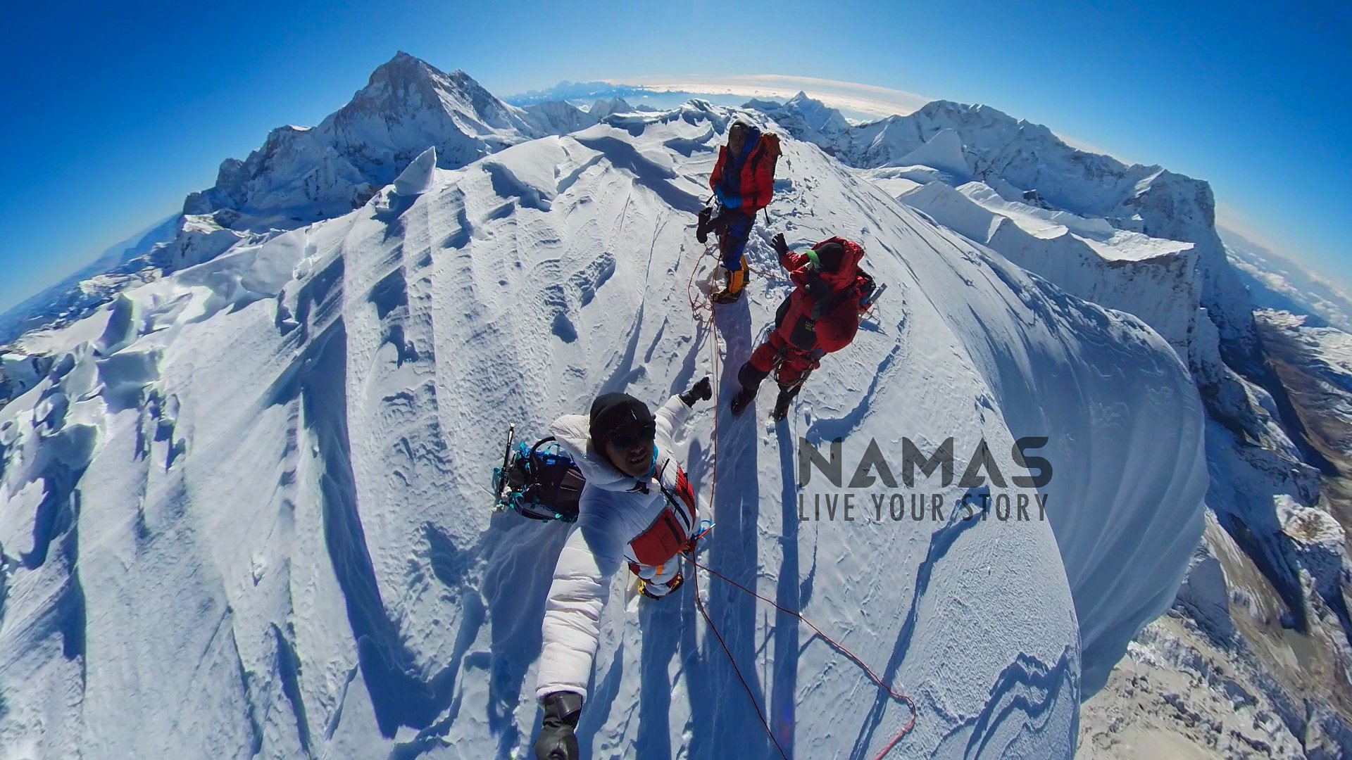
Summit 7129M
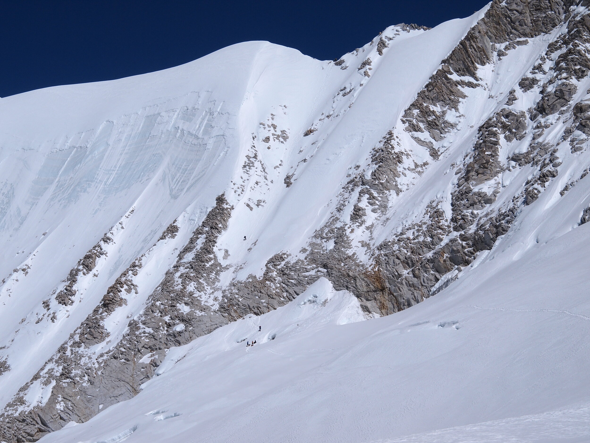
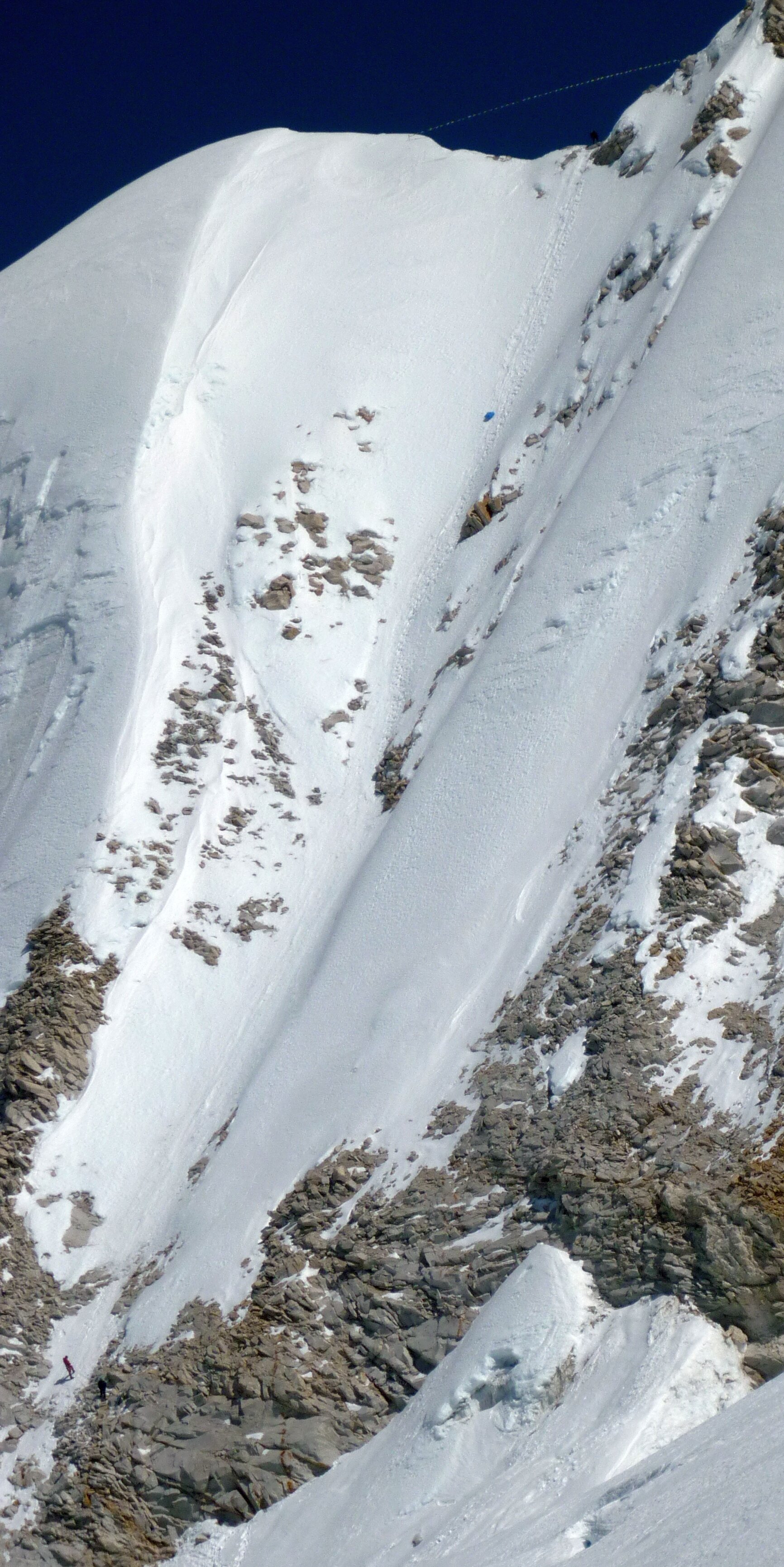
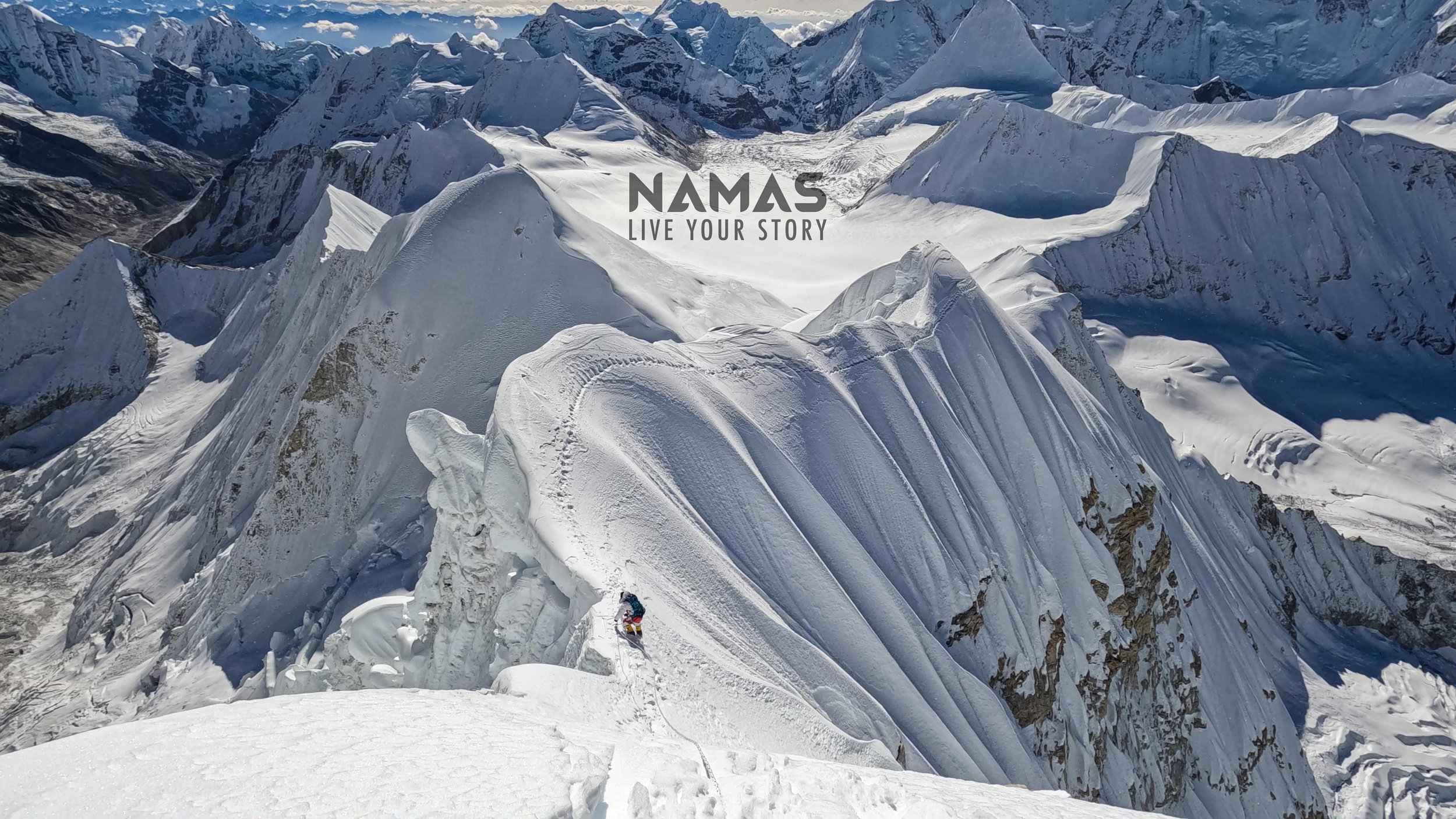
Summit push is where most of the climb is done during the Baruntse climb. Snow and ice conditions differ every year as with most of the mountains. Fixed-line ropes are usually fixed only above camp 2. The climb from camp 2 is mostly a steep uphill climb until climbers reach the ridge/cornice section around 6600M.
The climb from here onwards is the most technical part of the climb. Fixed-line ropes will be been set up by the Sherpa team and the climb is mostly on the exposed and steep, climbing/traversing mostly on the cornice formed on the ridge of the entire Baruntse mountain. Baruntse has 3 false summits with the final summit being the farthest. The summit of Baruntse is only a small surface area on the main summit.
Climbers will have to descend the same way back. Extra caution is required as this will be 4-5 hours of the slow and tiring way back with the goal to reach camp 1.
Express Itinerary
With the use of helicopters after the summit, the expedition can be shortened up to 23 to 24 days. Flying from Baruntse Base camp 5460M to Lukla.
Further extensions


(i) Makalu expedition. Continued further down via Sherpini col and then arrive at Makalu base camp to climb. Extra 20 - 25 days required to climb Makalu (with contingency days) We highly recommend spring season if you are to plan Makalu expedition as the weather is more stable during spring than the autumn season.
(ii) Ama Dablam and Island Peak. Climb the famous and stunningly beautiful Ama Dablam. A technical climbing challenge. Can be planned during both Spring (less climbers) and Autumn (busier many climbers expected) season.
(iii) Island Peak and Lobuche East. Bag some more 6000M+ expedition in the Khumbu valley
Bonus: Amphu Lhabtsa Pass
Amphu Labtsa pass is a glaciated pass located at the head of the Honku valley. The base of the valley is located at 5,000 m (16,400 ft) and contains several glacial lakes. Amphu Lapcha is zigzag glaciers formations with base camps at North and south where we have to stop for a camp night. View from Amphu Labtsa passes Imja valley, Everest, Lhotse, Nuptse, Island peak, Ama Dablam, Baruntse, just awesome.
Are you planning to climb Baruntse 7129M mountain peak someday in the near future? If yes then our team specializes in remote mountain peaks in the Himalayan region. We go where few ventures, safely access and navigate these parts of the Himalayas, creating new possibilities in the mountains.
For more information on our Baruntse expedition or Baruntse Express expedition or any of our other international expeditions check out our website. (Call/WhatsApp) - +44 7446976060 or send us an email at bookings@namasadventure.com
Go. Explore more.
Live Your Story